UN
29 The Avenues
£ 535,000
Description
We don't have a Description for this property.
- Bedrooms
- 4
- Bathrooms
- 0
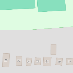
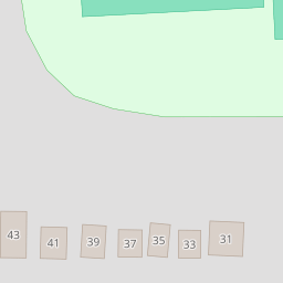
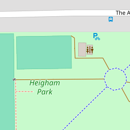

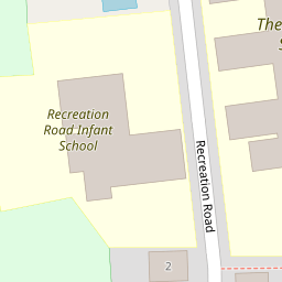
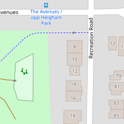

Leaflet © OpenStreetMap contributors
The heatmap indicates the level of crime in the area. The color of the heatmap indicates the crime severity and recency.
Metrics Year-on-Year
- Average area value
- 222,288.00 £Decreased by 15.84 %
- Average area rental value
- 1,121.00 £/moIncreased by 10.01 %
- Est rental Yield
- 6.05 %Increased by 30.67 %
- Crime Rate
- 0.00 %
from 264,112.00 £
from 1,019.00 £/mo
from 4.63 %
from 0.00 %
Nearby Schools
| Name | Type | Ofsted | Distance |
|---|---|---|---|
| The Parkside School, Norwich | Foundation Special School | Outstanding | 0.27 KM |
| Recreation Road Infant School | Community School | Outstanding | 0.29 KM |
| St Francis Of Assisi Catholic Primary School | Academy Converter | Good | 0.43 KM |
| Avenue Junior School | Community School | Good | 0.50 KM |
| Colman Infant School | Community School | Outstanding | 0.74 KM |
Images
Nearby Streets
| Name | Average Price | Average Sqft | Distance |
|---|---|---|---|
| Westgate Close | £ 0 | 0 | 0.00 KM |
| Gunton Road | £ 0 | 0 | 0.00 KM |
| Havelock Road | £ 250,000 | 0 | 0.00 KM |
| The Elms | £ 0 | 0 | 0.00 KM |
| Finchley Court | £ 225,000 | 0 | 0.00 KM |
Nearby Transport
| Name | NLC | TLC | Distance |
|---|---|---|---|
| Norwich | 7309 | NRW | 4.27 KM |
Nearby Listings
| Address | Price | Type | Score | Distance |
|---|---|---|---|---|
| Recreation Road, Norwich | £ 575,000 | BUY | Unknown | 0.18 KM |
| Christchurch Road, Norwich, NR2 | £ 630,000 | BUY | 7 / 10 | 0.26 KM |
| Earlham Road, Norwich | £ 90,000 | BUY | Unknown | 0.26 KM |
| Earlham Road, Norwich | £ 80,000 | BUY | Unknown | 0.26 KM |
| Earlham House, Norwich | £ 117,500 | BUY | 6 / 10 | 0.26 KM |
Nearby Properties
| Address | Price | Distance |
|---|---|---|
| 43 The Avenues | £ 660,000 | 0.00 KM |
| 39 The Avenues | £ 552,000 | 0.00 KM |
| 41 The Avenues | £ 389,950 | 0.00 KM |
| 21 The Avenues | £ 725,000 | 0.00 KM |
| 35 The Avenues | £ 330,000 | 0.00 KM |